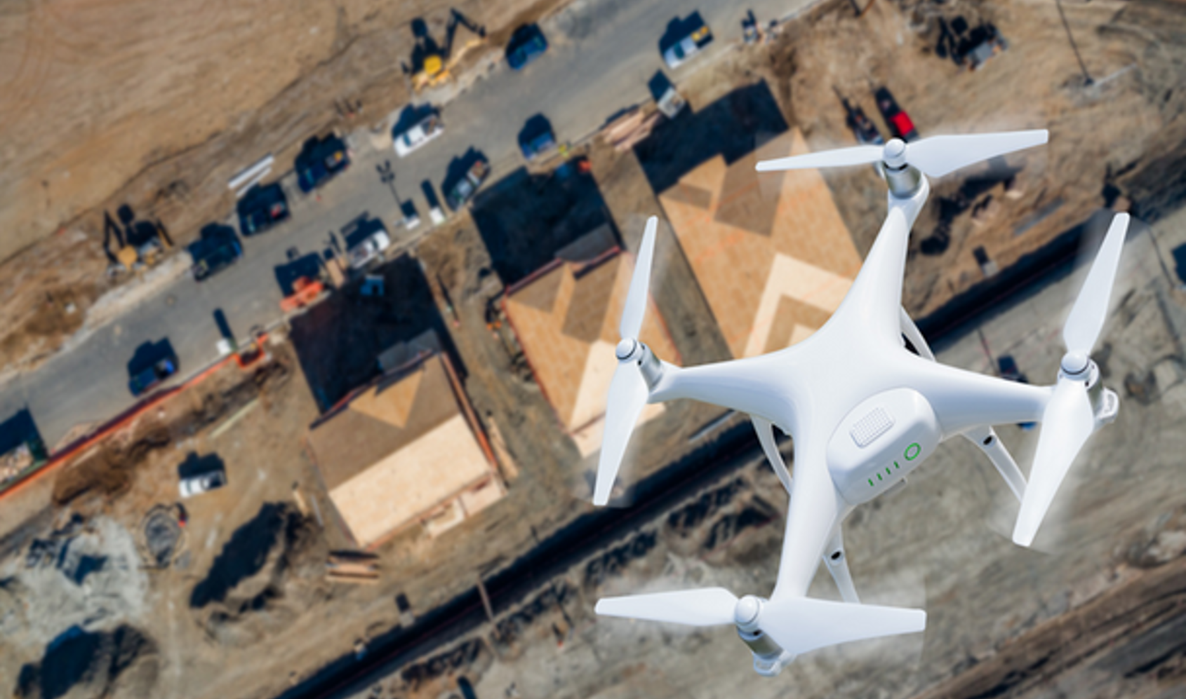
About Us
Geodrone Solutions is a startup specialized in collecting and processing geospatial data using drone
technology.
We provide fast, accurate, and safe solutions for topographic surveys, 3D modeling, orthophotos, volume
calculations, and geospatial mapping.
Our mission is to make field data collection faster, more affordable, and safer than traditional surveying
methods — while maintaining the highest levels of accuracy and quality.
Through advanced photogrammetry and aerial mapping, Geodrone Solutions delivers ready-to-use digital
products that support decision-making in construction, urban planning, agriculture, and environmental
management.